A flood watch covering most of Utah remains in effect through late Monday, Oct. 12, afternoon. Saturated soils from the weekend's storms keep flash flooding a threat for Wasatch Front communities including Alpine, Highland, Cedar Hills and Lehi.
The National Weather Service said the Monday rainfall is not a continuation of Tropical Storm Rachel but a separate weather system moving across the West. NWS meteorologist Andrew Orrison told the Associated Press that "we've seen the worst of what Rachel brought … but unfortunately we are looking at the disturbed weather still lingering."
Rainfall amounts Monday are expected to reach 1 to 2 inches, with up to 3 inches in higher terrain, according to ABC4. Flash flooding remains a concern statewide because soils are saturated from the weekend downpours. Burn scar areas face the highest risk.
A 15 percent chance of flash flooding within 25 miles is highlighted along the I-15 corridor, stretching from St. George to Cache Valley. Southwesterly wind gusts of 25 to 35 mph are also expected Monday.
The National Weather Service advises residents near creeks, streams and low-lying areas to avoid driving through standing water and to stay clear of slot canyons and burn scar drainages through Monday evening.
Mountain snow arrives
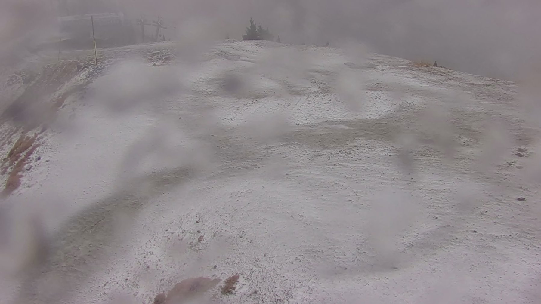
Snow was falling at high-elevation locations Monday. NWS Salt Lake City posted Snowbird webcam imagery on X confirming the snowfall and said accumulations would build through Wednesday. Park City Mountain and Big Cottonwood Canyon both reported snow Monday, the Deseret News reported.
Snow levels are forecast to drop to about 8,000 feet by Tuesday, Oct. 13, morning and as low as 6,500 feet by Wednesday, Oct. 14, morning. Accumulating snow will be confined mostly to areas at or above 8,000 feet. Alta and the Upper Cottonwoods could see 4 to 10 inches or more, according to ABC4's forecast. The western Uintas could receive 1 to 2 feet.
Drivers heading into the mountains Tuesday and Wednesday should prepare for winter conditions above 8,000 feet.
Cold snap follows
A cold front sweeping through Monday night into Tuesday night will push daytime highs 15 to 20 degrees below average. Overnight lows along the Wasatch Front will drop into the upper 30s. The Wasatch Back and Cache Valley will see freezing conditions, with lows dipping into the upper 20s and low 30s.
Freezing temperatures are expected Wednesday morning through Friday morning. Residents with sensitive plants, outdoor crops or exposed pipes should take steps to protect them.
Conditions are forecast to dry out by Wednesday afternoon. High pressure is expected to rebuild by the end of the week, bringing sunshine and temperatures back to near-seasonal levels over the weekend.