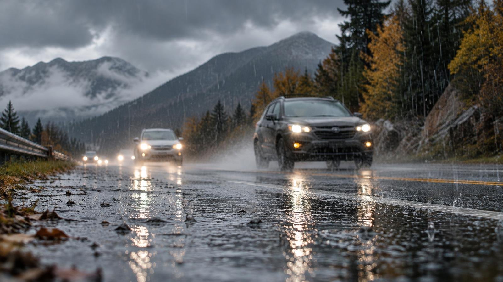
Rain is heading for the Alpine, Highland, Cedar Hills and Lehi area Nov. 1–2 as a strong storm system moves across Utah.
The National Weather Service Salt Lake City said in its Oct. 30 forecast discussion that a strong atmospheric river will interact with a strong cold front Sunday into Monday, producing widespread valley rain and mountain snow across the region. NWS forecaster Traphagan authored the public forecast discussion.
The Provo area falls in the 0.5-to-1.0-inch liquid precipitation zone on the NWS Salt Lake City forecast graphic issued Oct. 29. Salt Lake City, Ogden, Park City and Tooele are in a higher band of 1.0 to 1.5 inches.
Snow levels will start between 8,000 and 9,000 feet and could drop as low as 6,500 feet by Monday morning, according to the forecast discussion. Alpine sits at roughly 5,000 feet elevation and Lehi at about 4,600 feet, so valley areas should see rain rather than snow.
What Lehi and Alpine residents can expect
The NWS point forecast for Lehi calls for rain likely Saturday night, rain on Sunday with a high of 52°F and a low of 39°F, then a chance of rain Monday with a high of 50°F.
The Alpine forecast is similar: rain on Sunday with a high of 52°F, showers Sunday night with a low of 37°F, and rain likely Monday with a high of 50°F. Monday night lows in Alpine could reach 34°F, with patchy frost possible by Tuesday morning.
Flash flood risk and saturated soils
The NWS forecast discussion noted that flows across the region remain high from other recent rain events, increasing the flash flood threat. The agency's hydrology section, authored by forecaster Merrill, described near-record-high surface soil moisture values for this time of year.
The heightened flash flooding potential is focused on southern Utah, according to the NWS. As of Oct. 30, no flash flood watch or warning was active for Utah County, according to the NWS hazards page for Lehi.
The NWS Salt Lake City timeline posted on Facebook rated Sunday's impact level as "moderate," noting that saturated soils from recent significant rains further increase the threat. Monday was rated "minor," with valley precipitation ending and snow lingering in the mountains.
Cold snap follows
The storm system is expected to move through quickly, with most precipitation ending Monday morning, according to the forecast discussion. Strong high pressure should build in late Monday.
Temperatures could run up to 10 degrees below seasonal normals through midweek, according to the NWS.